KHARITON AKHVLEDIANI MUSEUM OF AJARA
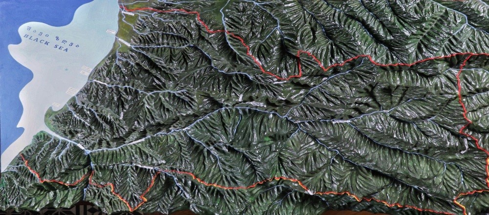
Relief Map
About the collection
On the Adjarian map its clear to sea the most of Adjarian region consists of mountains and valleys ,while the rest are the coastal plains and hills. Its noteworthy to mention the plains of Kakhaberi and Kobuleti .On the south the border runs along the Chaneti and Turkey line.Bordered by Arsiani ridge to the east , while the Adjara- Imereti(Meshketi) ridge runs along the north side.The highest peak of a mountain is Qhanli-Daghi(2992) at the Arsiani ridge ,near Turkey border.Adjara has a natural border of 60 km. as a Black Sea. The main river in Adjara is river Acharatskali (95 km) , which is a right stream of river Chorokhi. It begans in Turkey and though 21 km route flows out in our territory . Other rivers include Chakvistskali, Kintrishi and Qhorolistskali.

 News
News Online magazine
 Tickets